RUNNING AROUND BALDWIN CITY, KANSAS and the Baker University Nature Trail
A fun way to enjoy your exercise is to chronicle where you work out. I run almost everyday and one of my favorite routes in Baldwin is a five mile loop that takes me past cow pastures, to the Douglas State Lake, around the edges of the Ivan L. Boyd Woods, up the steep Signal Oak Hill, and past several historical monuments. Along the way I encounter deer, turkeys. opossums, raccoons, a myriad birds and a variety of other flora and fauna.
Let's get started. Captions below the pictures
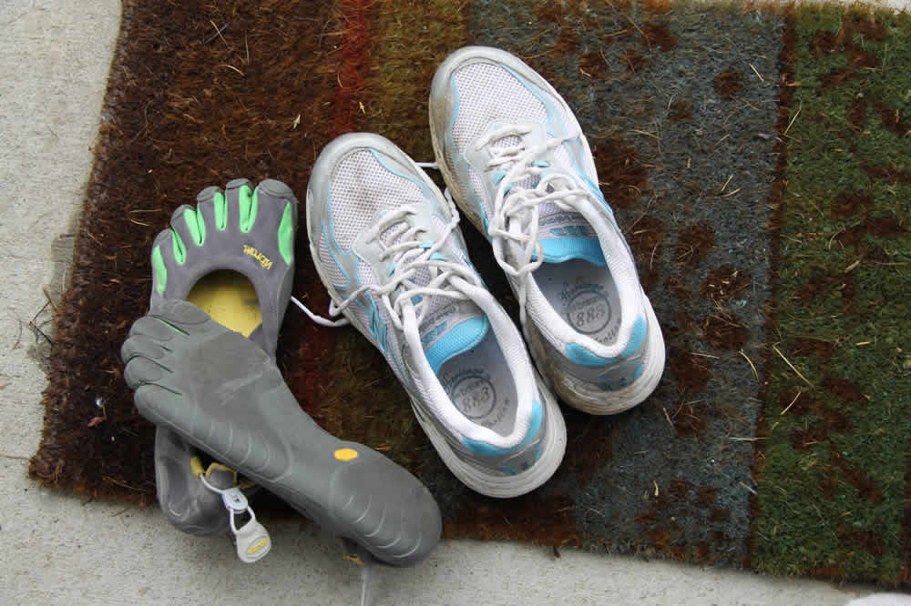
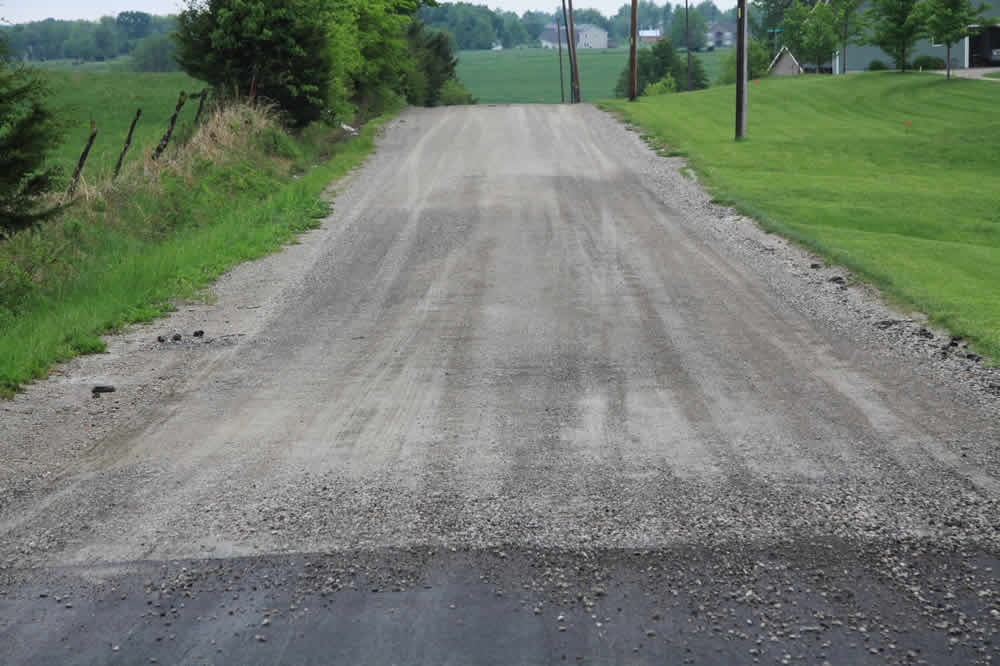
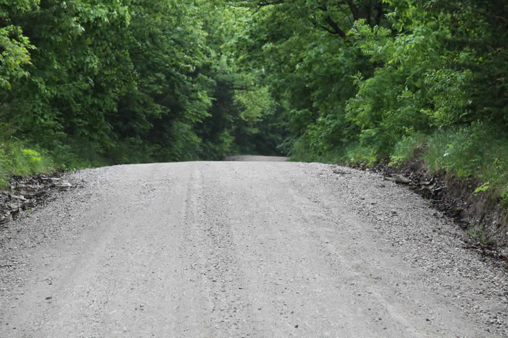
Depending on the state of the dirt roads (did they just lay down some new, pointy rocks and gravel?) I wear either shoes or Vikram Five Fingers. I'd rather run barefoot but there are too many rocks.
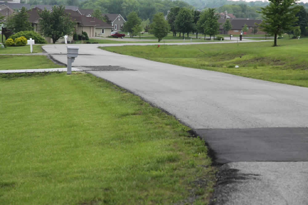
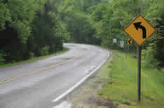
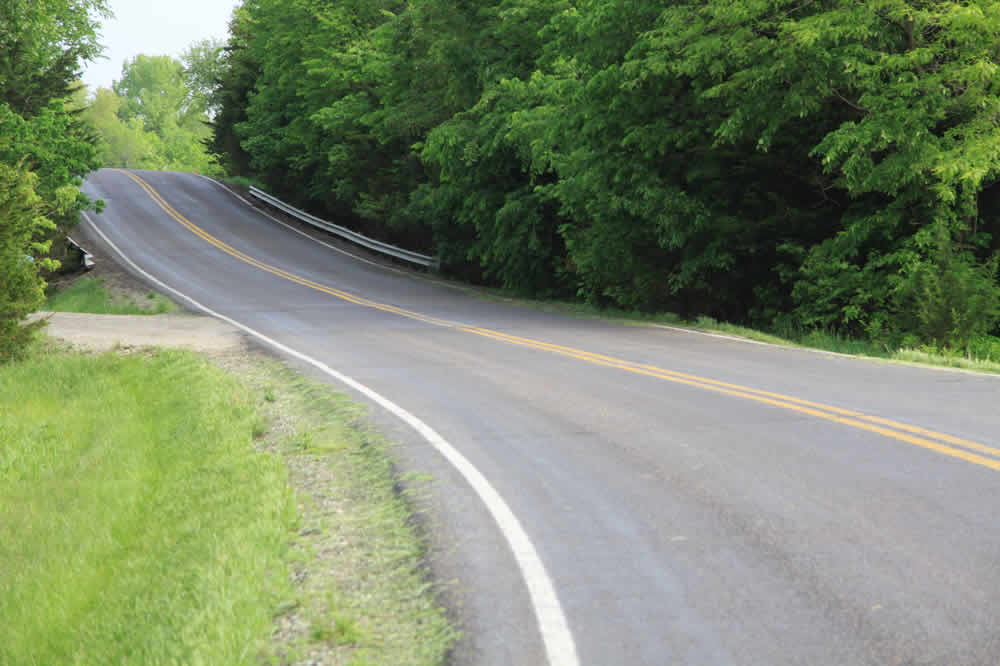
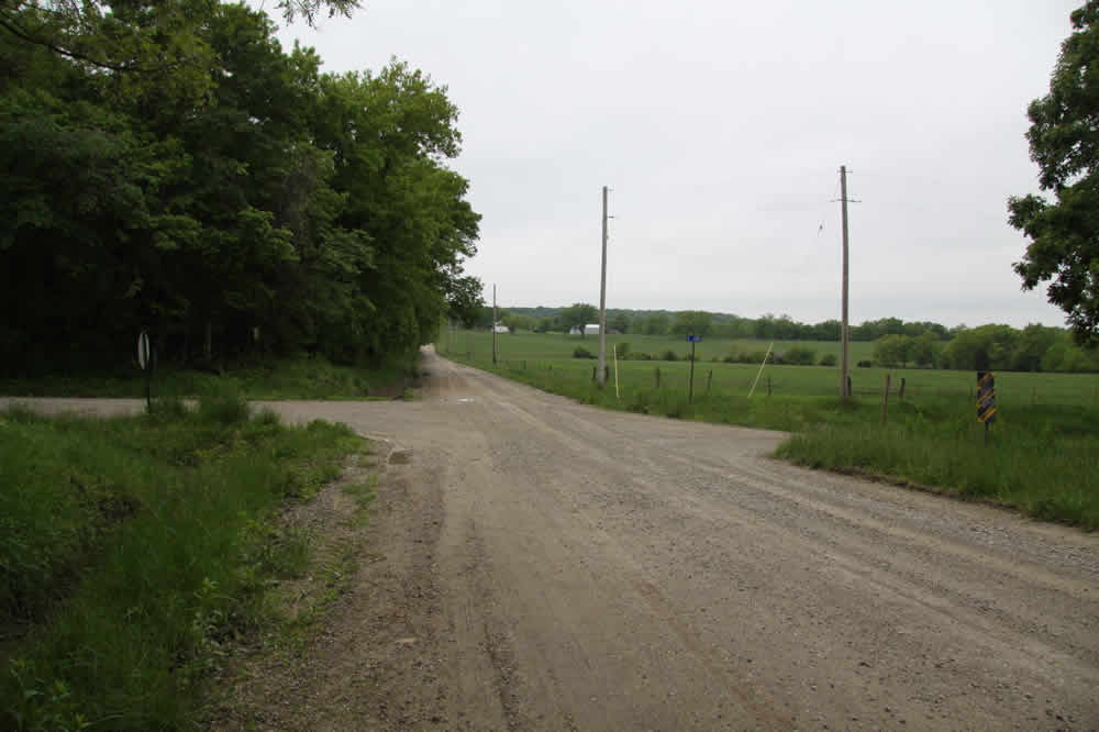
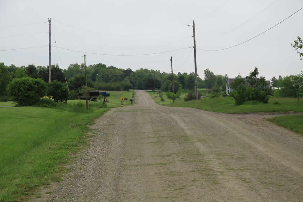
My street is about a quarter mile long; at the end I meet N 400 Road and then... look east up at the deceptively gentle hill that is not at all gentle once you start running. **In March 2012, Douglas County Road 1055 south of Douglas Co. Rd. 12 will be closed for nine months. The road in the picture above right will bear the brundt of the traffic into Baldwin--it will be a mess and way too busy.
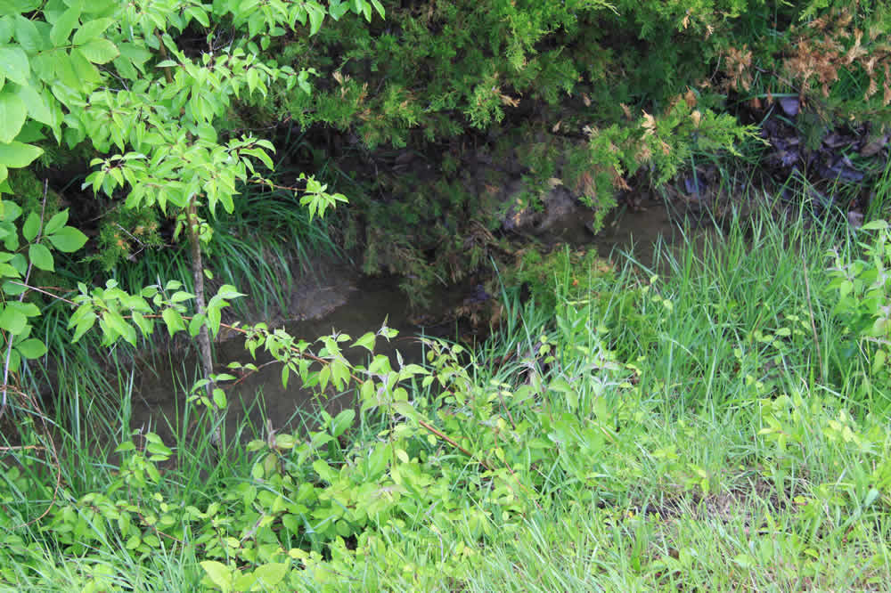
Halfway up the hill is a culvert that allows drainage from the north ponds spill over to the ones to the south. This little area is full of life: killdeer, crayfish, salamanders, turtles, ducks and geese frequent this spot and swallows make their nests in the drainage pipe under the road.
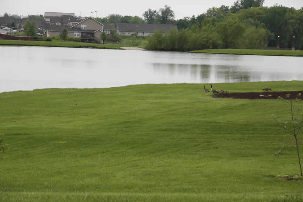
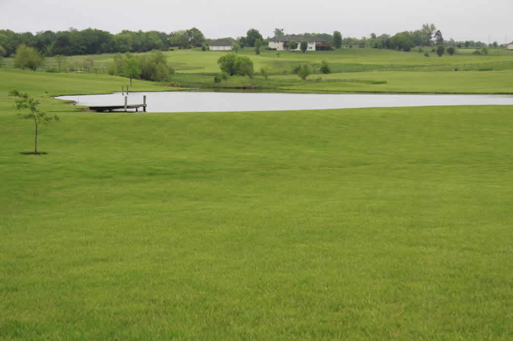
To the south is one large pond and right to the north of the road is another one
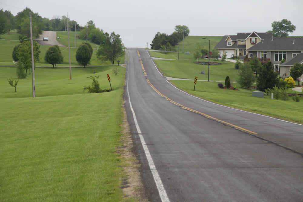
This is a shot looking north as I go up the hill a bit. Coyotes sing, owls hoot and cows bellow in the fields and woods beyond.
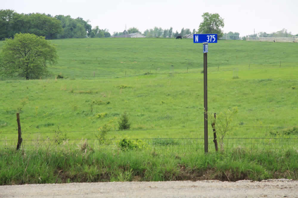
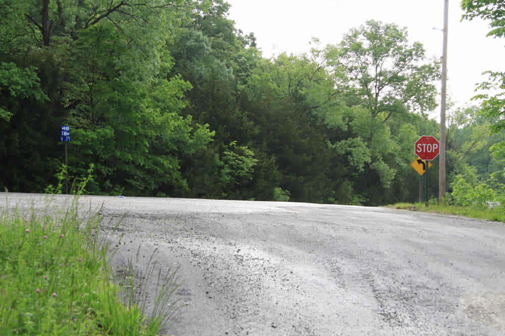
At the crest of the hill is E 1750 road and the end of the pavement. I take a right and go south. At the bottom of that small hill is N 375 road. If I go west, I'll go past the high school. I go east.
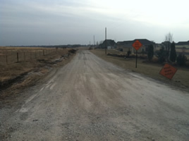
*As of January 20, 2012, E 1750 Rd. looks like this (above.) All the trees are gone and obviously, so are the bird nests and the ditches where I often see turtles, snakes, opossums and raccoons. Traffic will be diverted to Baldwin on this route. It tends to washboard and can be "slippery."
At the corner is a shady tunnel the cows created
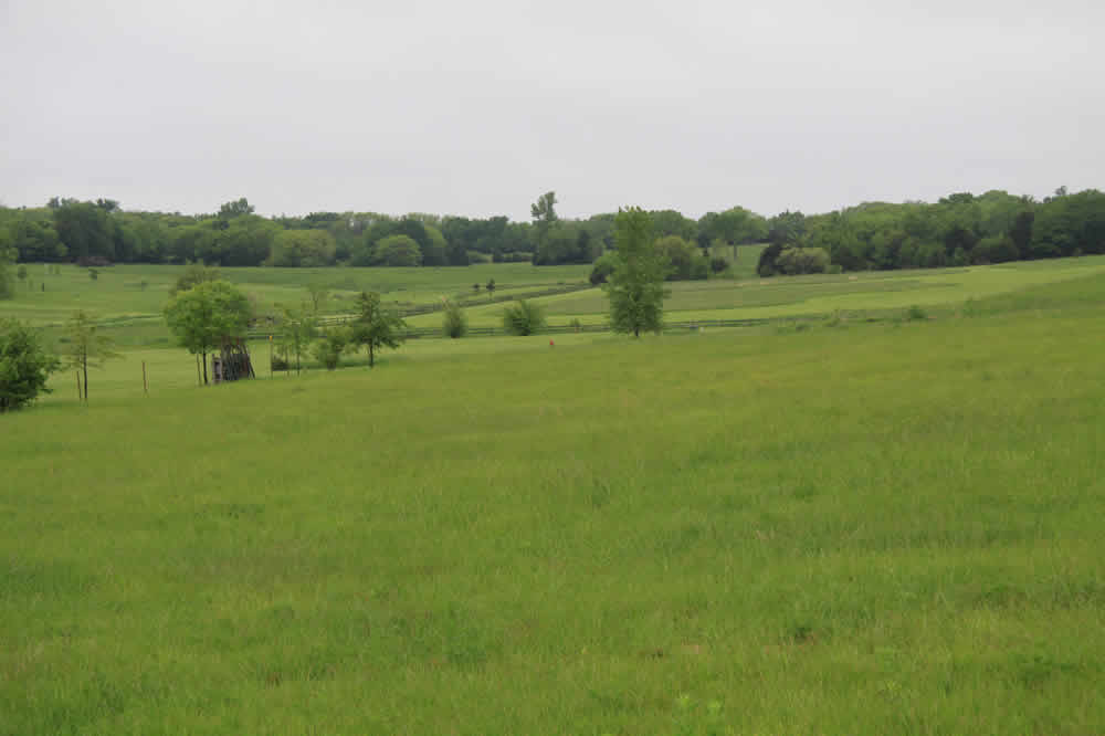
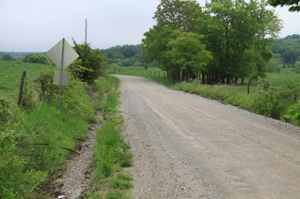
Looking east is a slight downward gravel road that will take me past cow pastures.
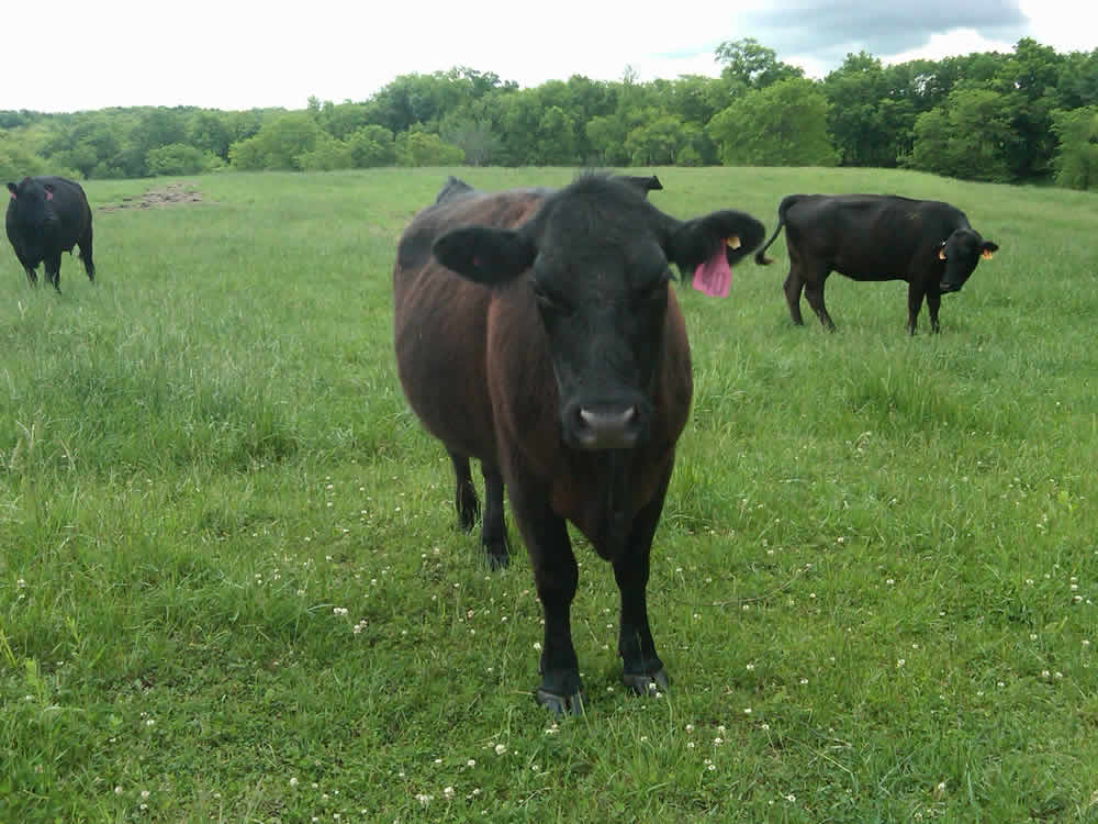
Happy Cow
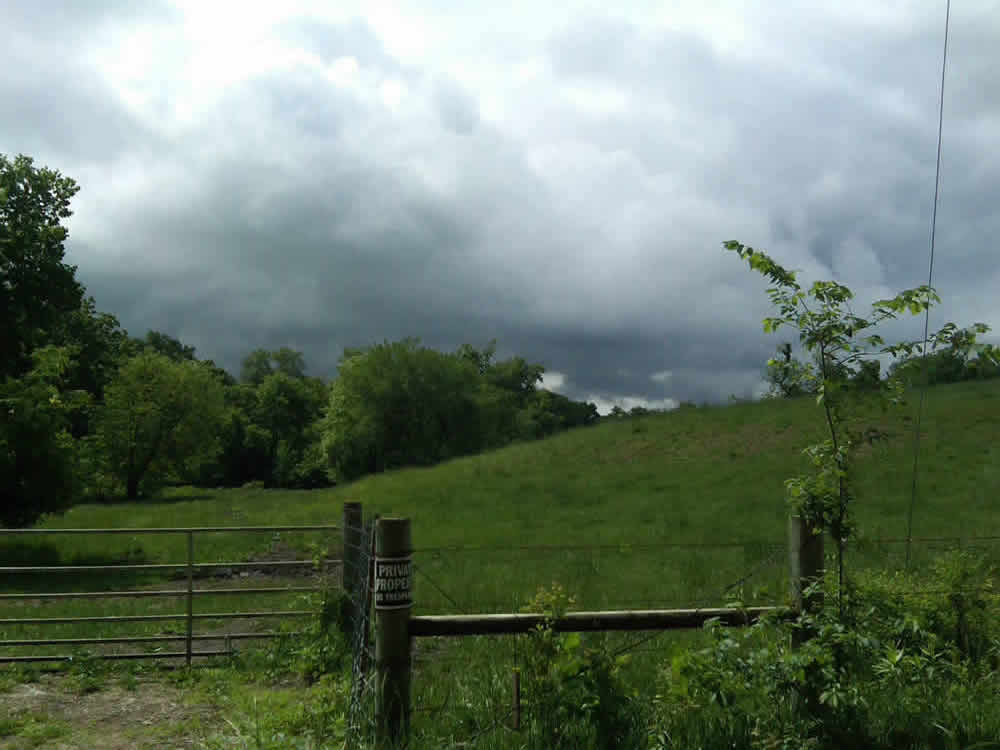
Dark sky this morning to the south over the cow pasture
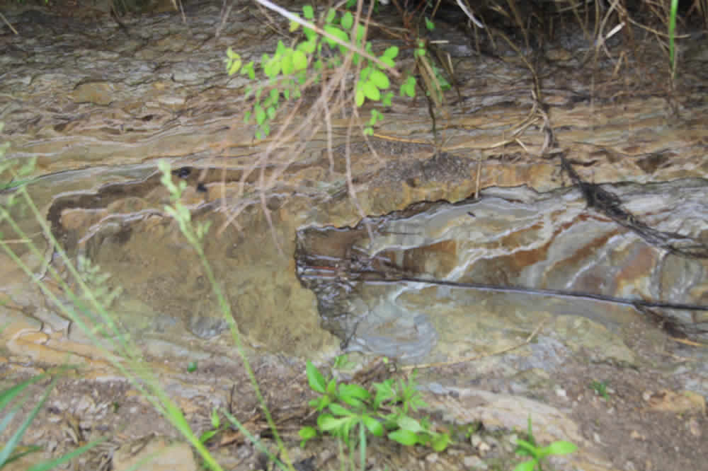
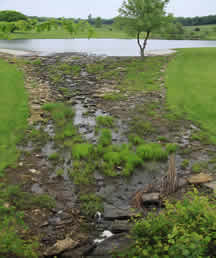
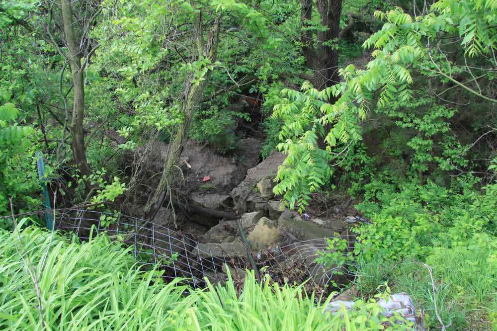
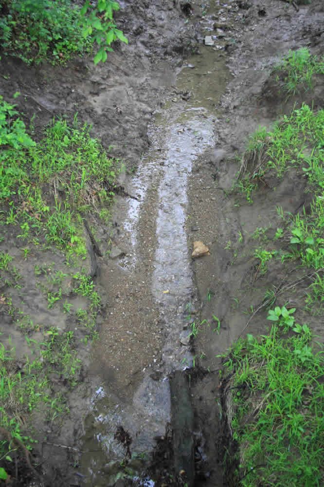
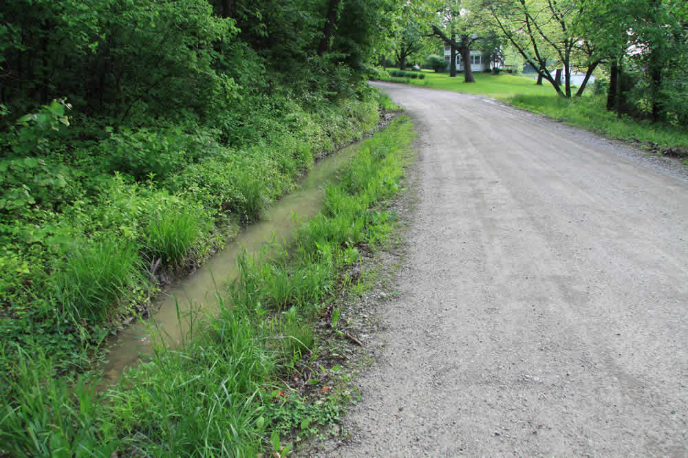
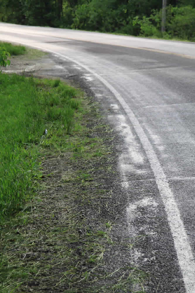
Along the side of the roads are interesting rivulets that reveal how the water has rubbed smooth the rocks.

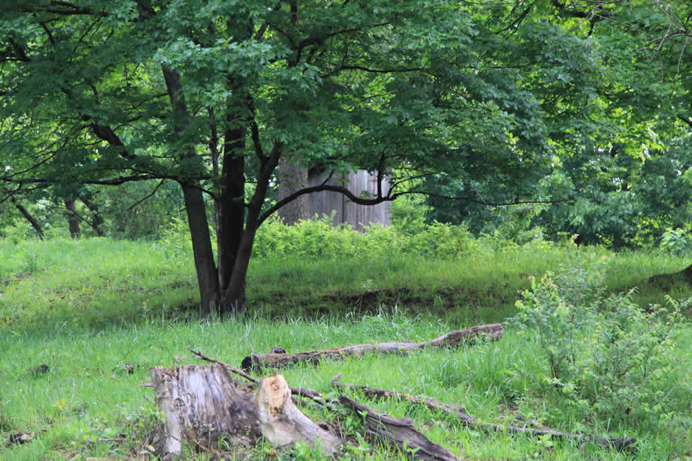
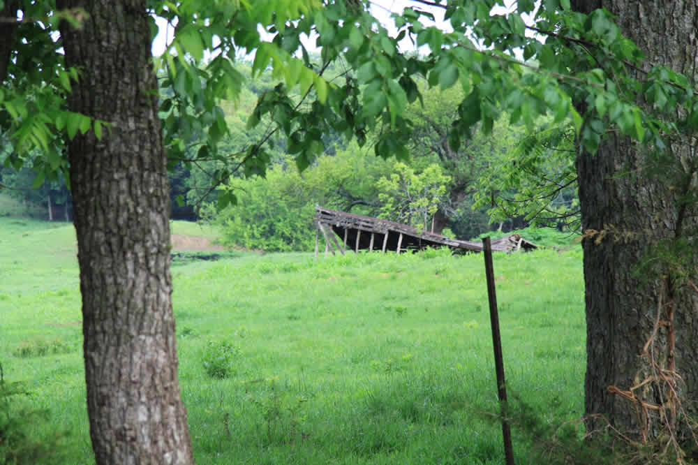
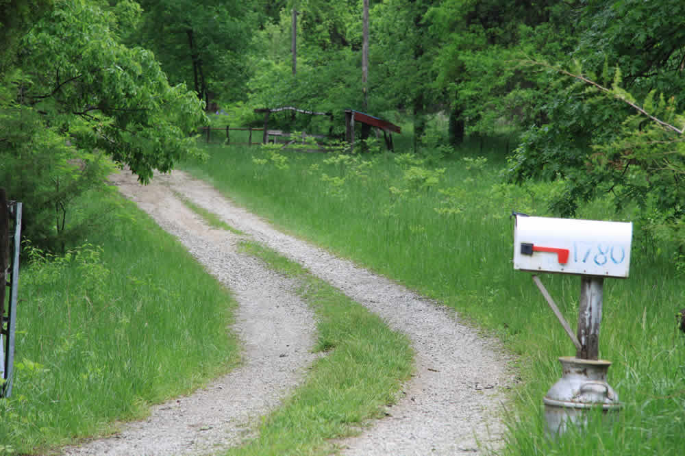
To the north of the road is an old outhouse (it was not filled in a few years ago when I looked). rt: Not far from the outhouse is a collapsed barn
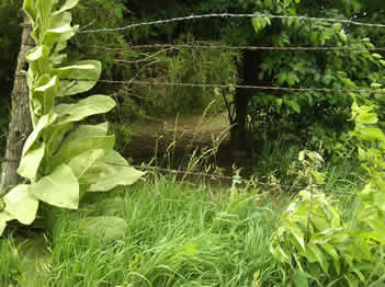
Directly across the road from that is a very well-worn cow trail that allows them to cross the stream.
Continuing east. Around this spot, before I get to the farm house, squirrels are very active and turkeys often fly off their roosts early in the mornings.
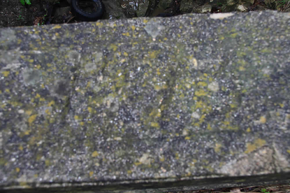
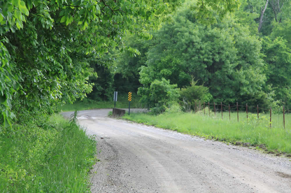
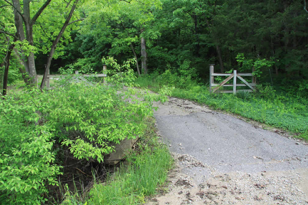
An old bridge. You can barely see the numbers carved in the stone, but you can trace it with your fingers; it reads 1915.
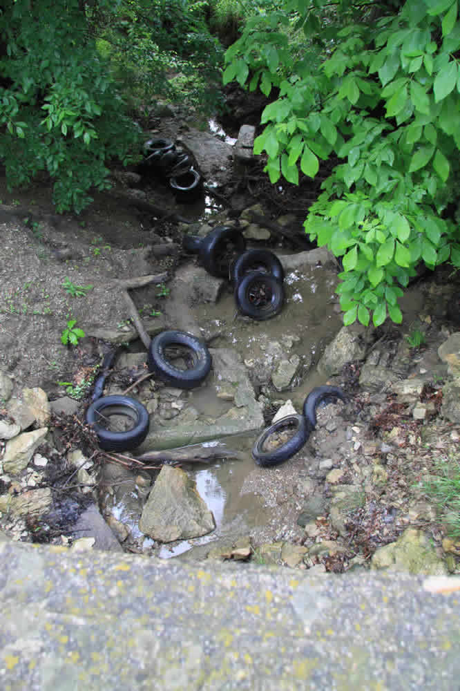
On the north side of the bridge is a clear stream (except for when the cows trample through it). And on the other is a tire filled area. These tires were dumped one night last year. They weren't there one day when I ran by, but were the next.
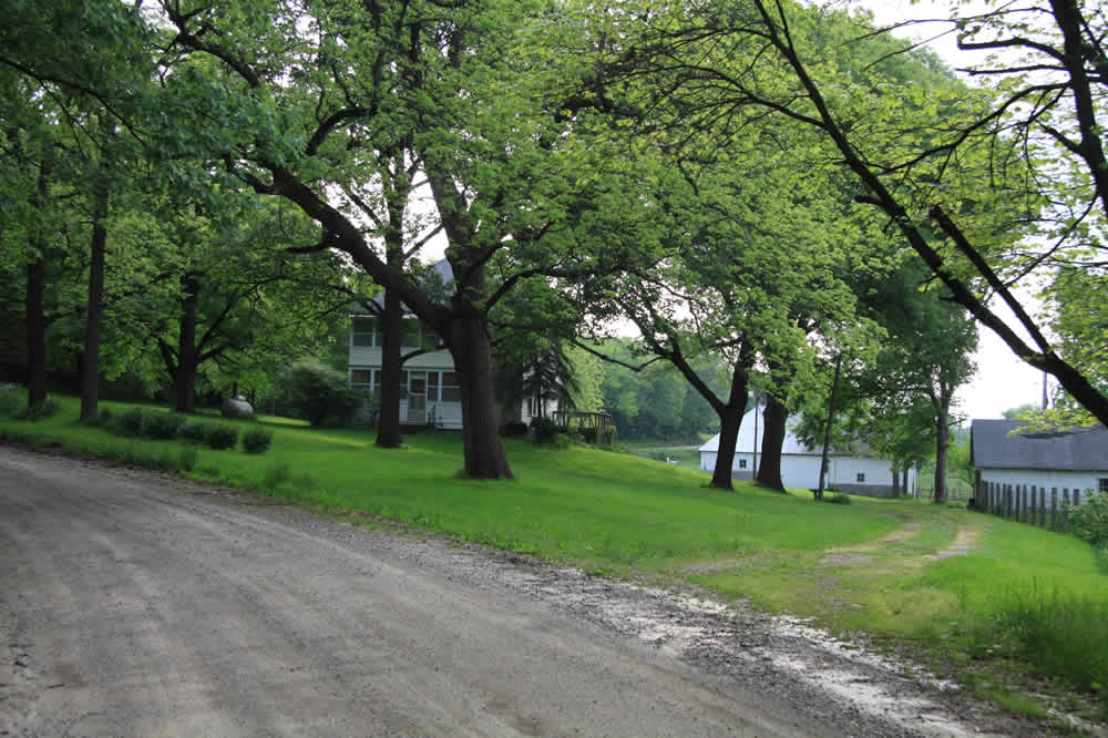
Approaching the farmhouse. To the north is a ditch that seems to always be full of water and frogs. rt: The Counts house. The trees look spectacular in fall. This is the site of two wrecks in a three week period. The latter wreck was 9-29-10. The road is dark, curvy and indeed, drivers need to be very careful. Last year, a teenager went off the road and down a very steep ditch opposite the bank in the top left photo, the exact place another one did this fall.
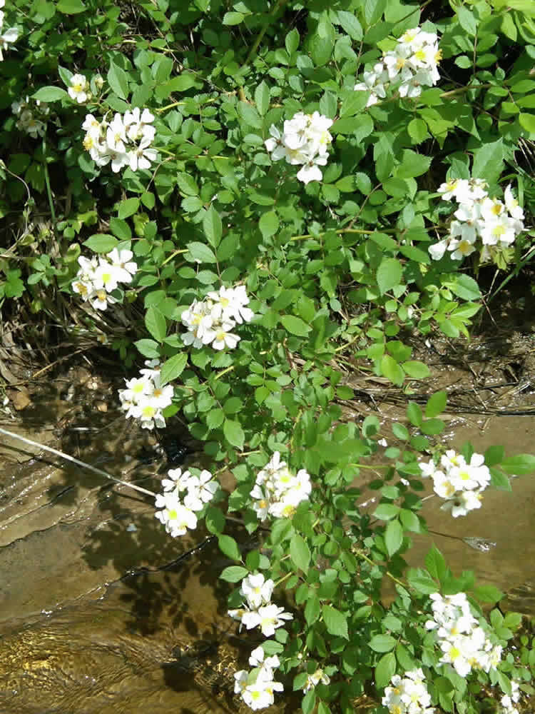
Hank the Tank takes a break next to some roadside flowers
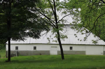
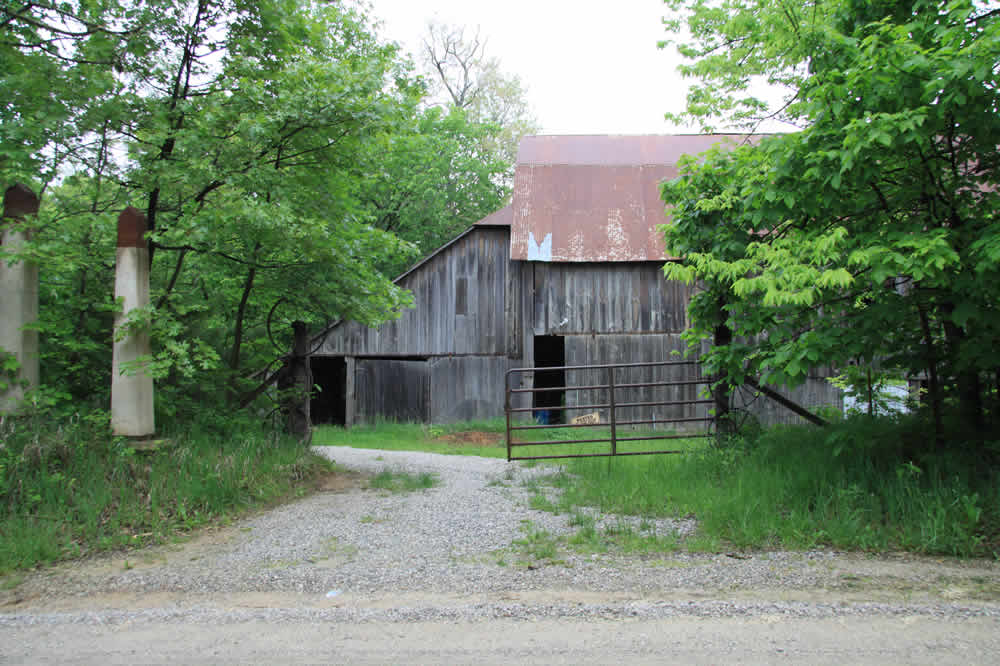
The old Counts barn on the south side of the road
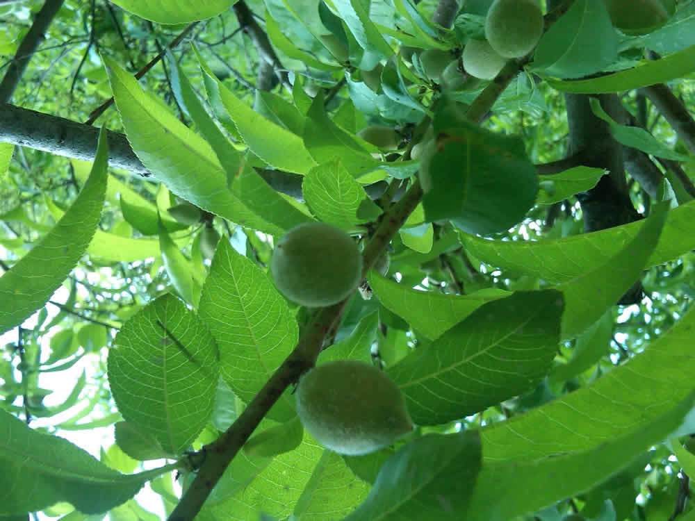
Peaches on the trees that sit on the property. In years past, these trees have been pilfered by humans and raccoons who do some midnight peach requisitioning.
The road continues on up a small hill and meets with the hard top, E 1814 Rd. and heads towards the Douglas County Lake
The road is dangerous for bikers and runners. There are many turns and often times cars and trucks stay too close to the white line.
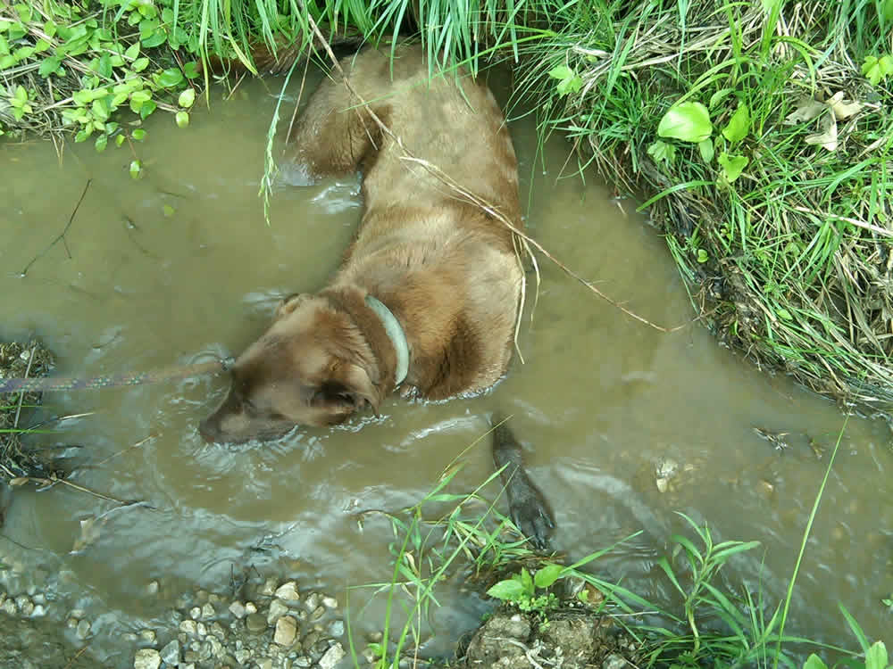
This is a shot of one of the popular parking spots for hunters who go up the hills behind the Counts property. rt: Rivulets off the sides of the roads are havens for frogs and great places for my dog to lay down and cool off.
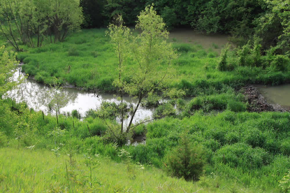
An entry to one of the many properties off the lake road. rt: Creeks to the south reveal that the lake is close.
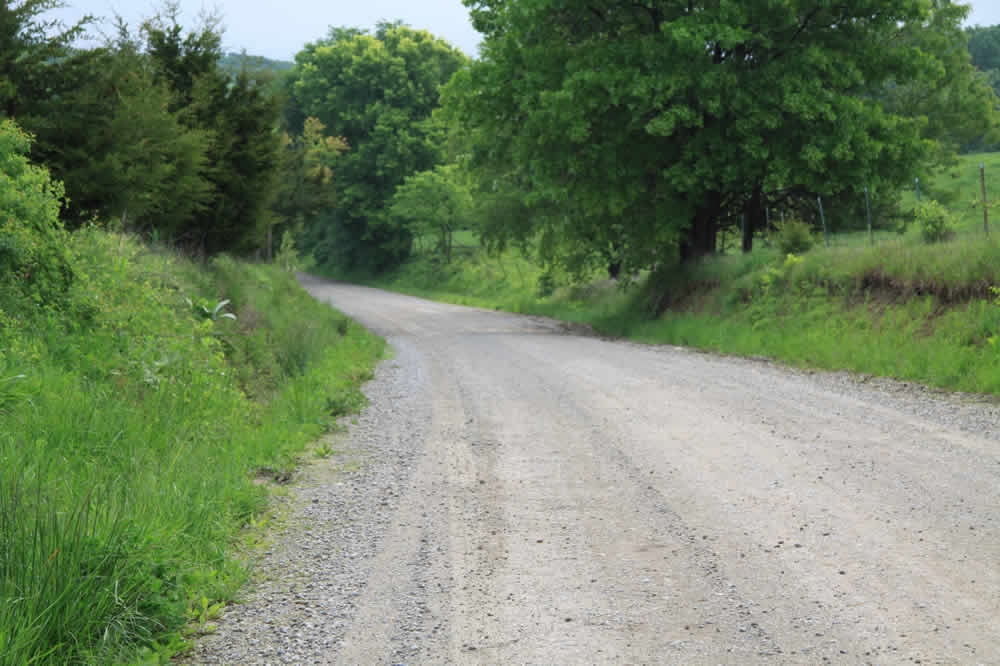
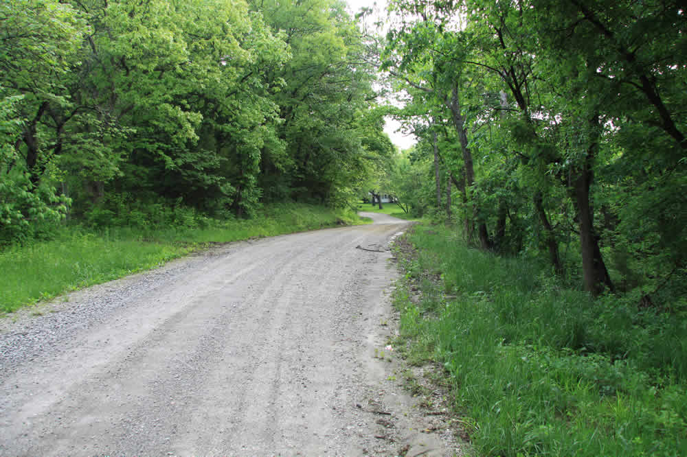
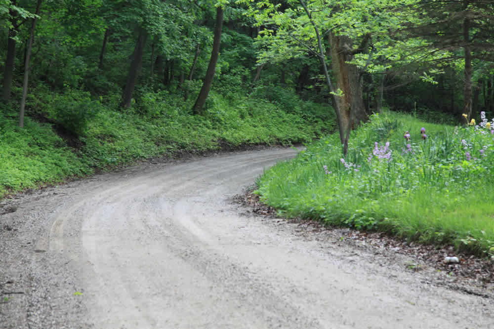
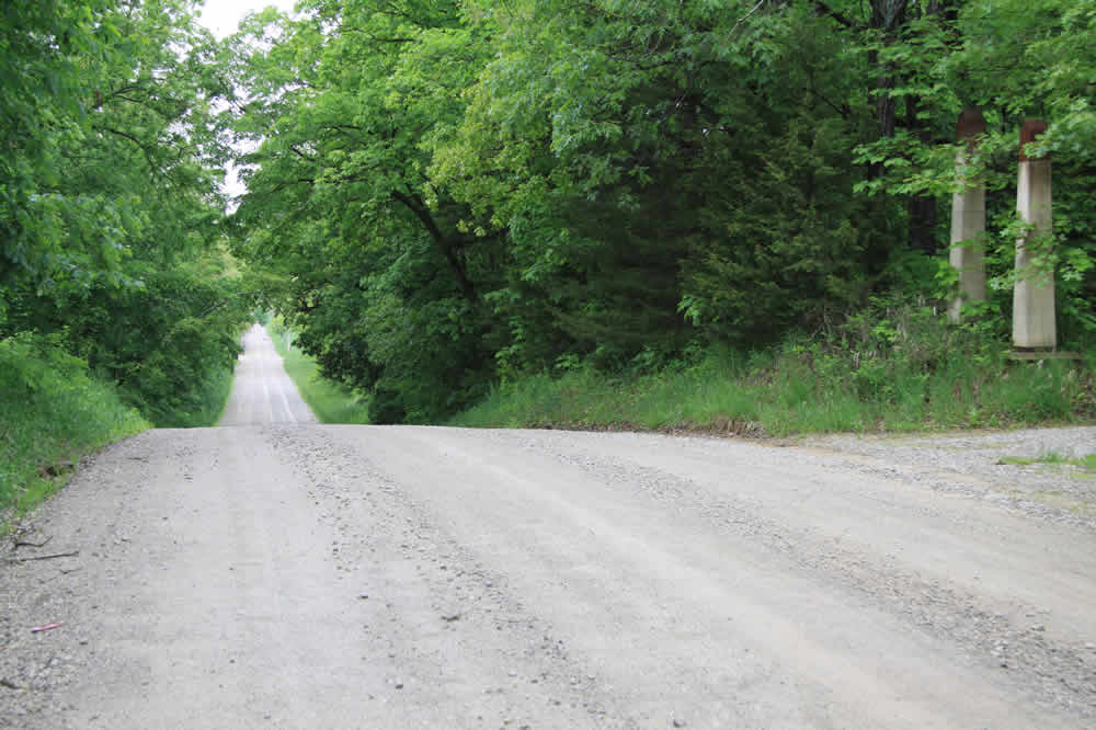
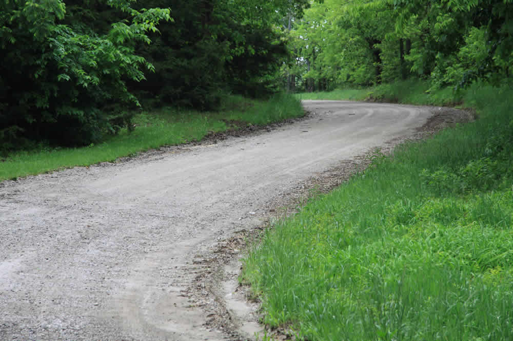
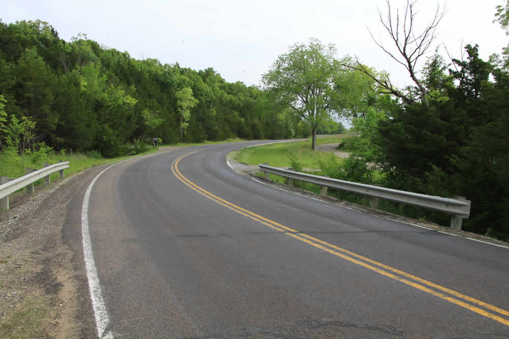 More winding road
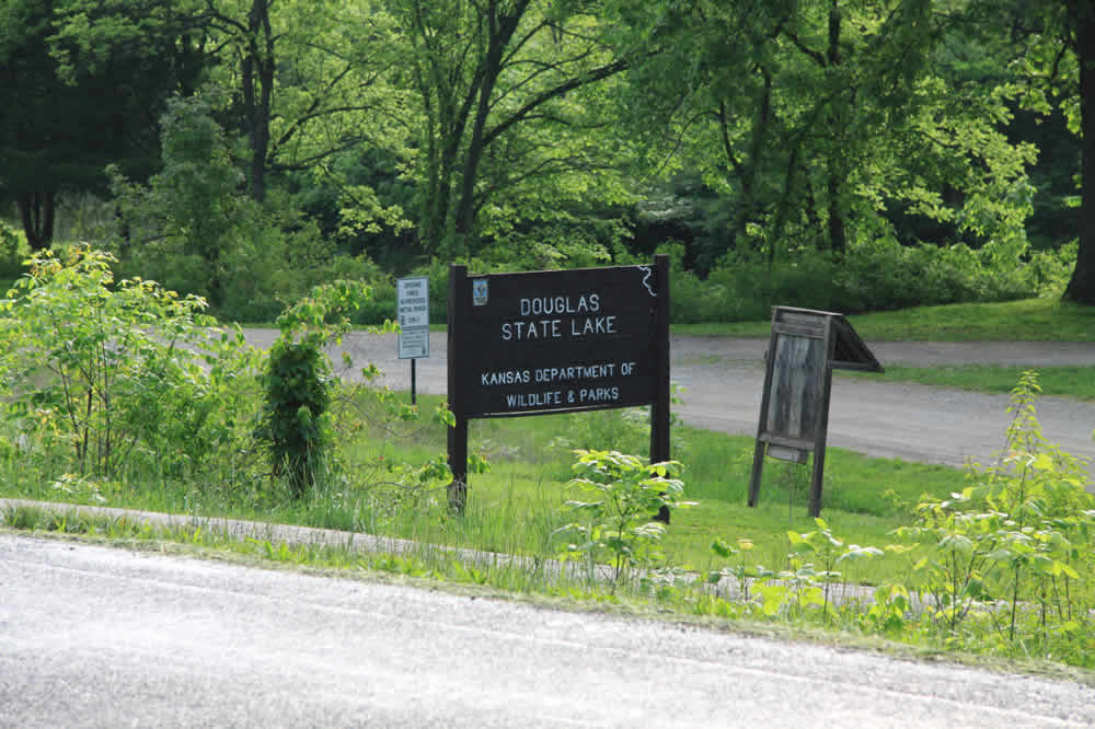 One of the Lake signs
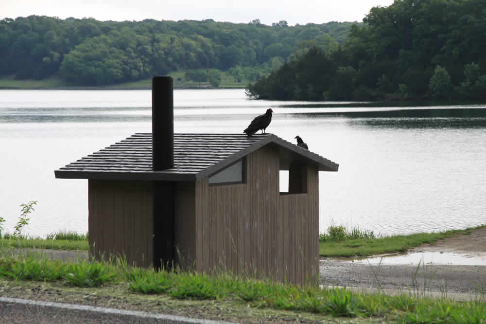
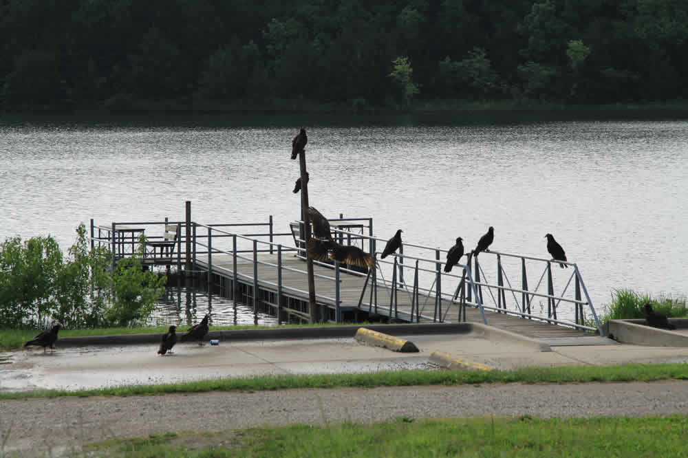
A flock of vultures sunning on an outhouse and dock
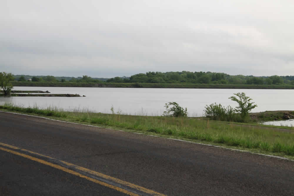
The lake was drained a few years ago so that it could be dredged and the dam repaired. It has been restocked and now is frequented by fishermen. One of the little creatures I see everyday.
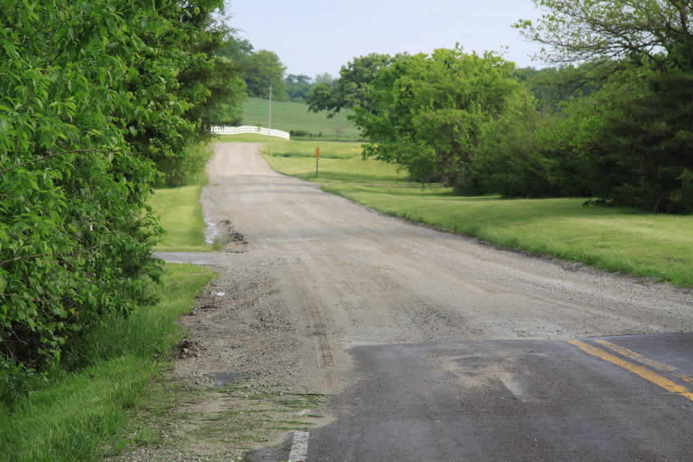
About two miles from my start, the road continues. On either side of this small rise are drainage streams. This is also the spot where many opossums and baby turtles are run over. rt: The hardtop ends and the gravelly roads begins again. The white fence marks the property of the LMP Farm (below)
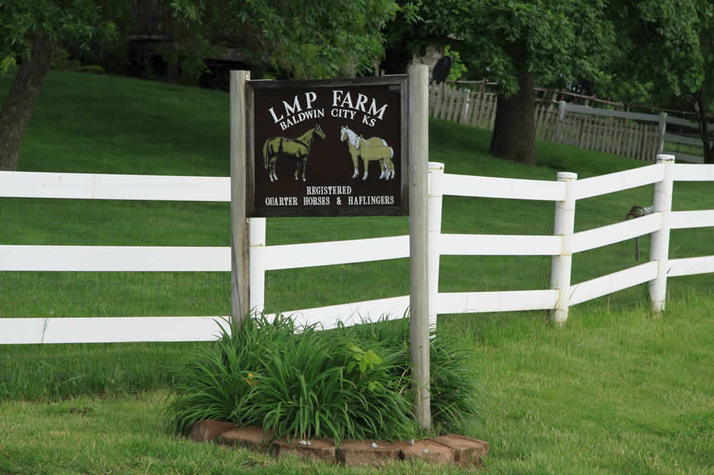
The farm raises Halflingers and Quarterhorses
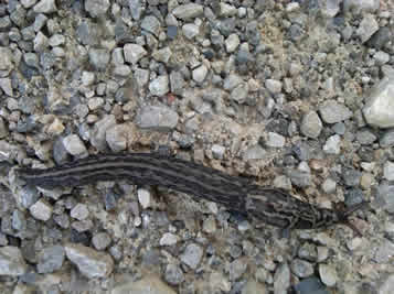
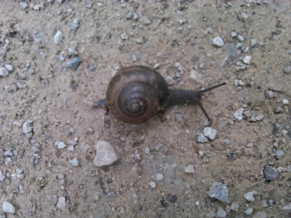
A large slug making his way across the road
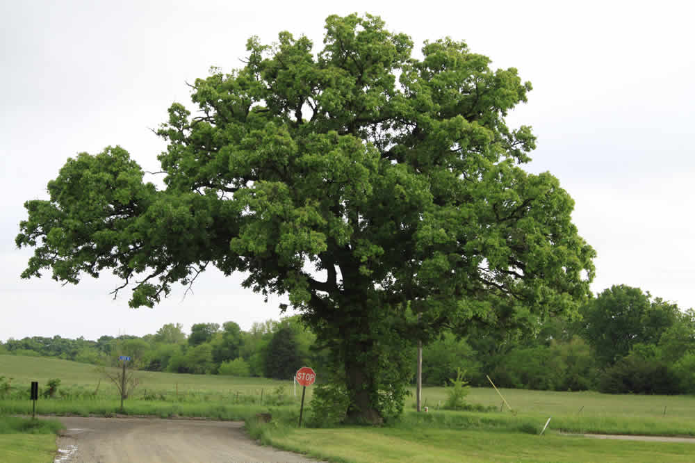
The 2.5 mile point. A huge, beautiful oak tree stands at the juncture of N. 500 Rd. and E. 1814 Rd. rt: Looking east, there are still more cow pastures and corn fields. I'm going west.
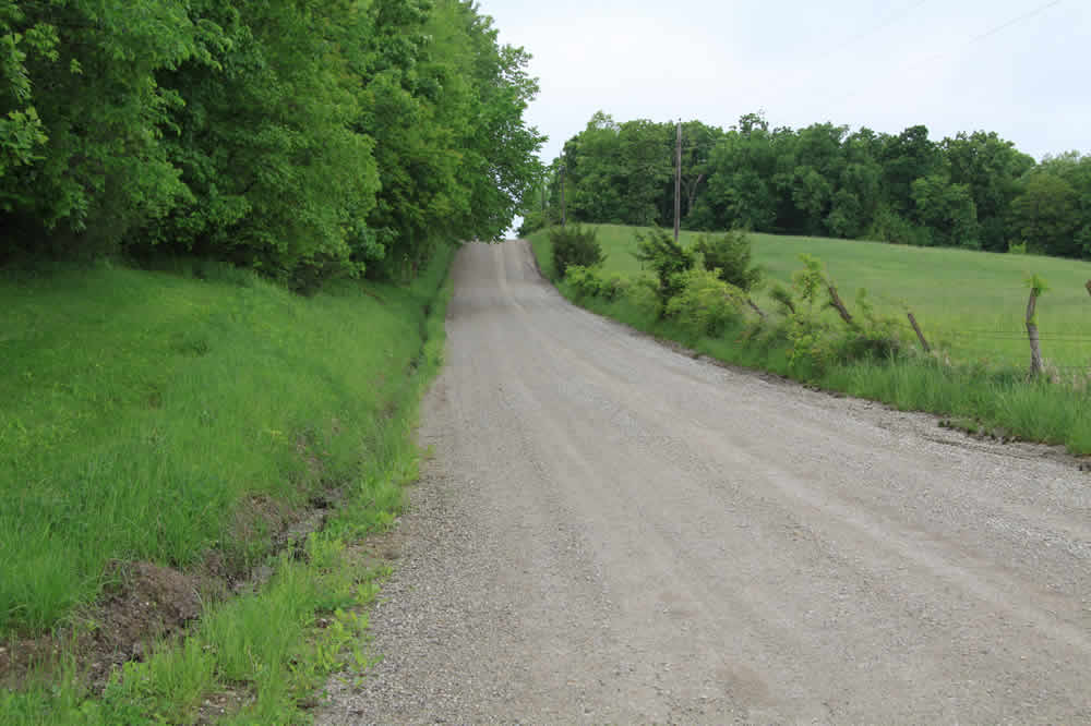
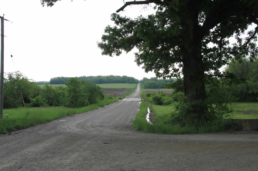
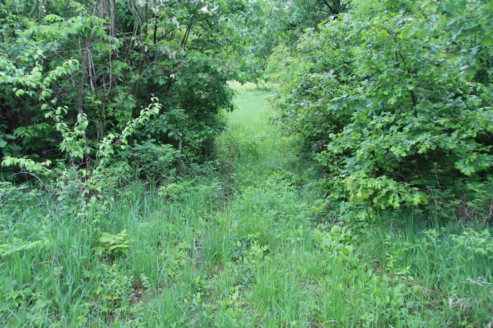
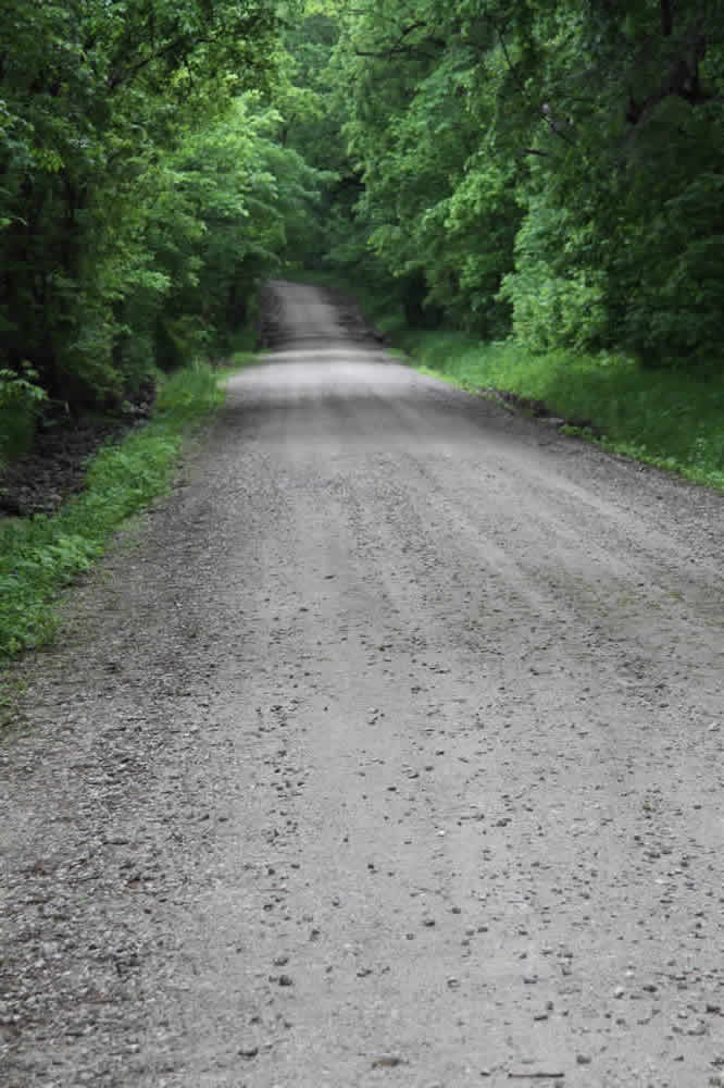
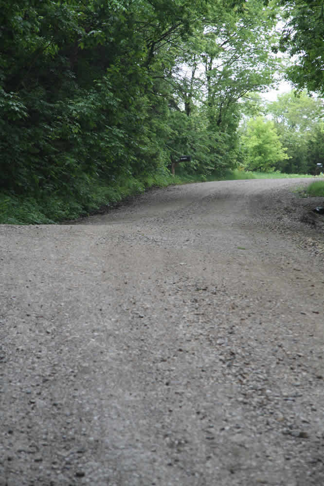
So begins the long west-east road that I call the "rollar-coaster" road. It's a great training stretch for runners and bikers. rt: Both sides of the road remain heavily wooded the entire way.
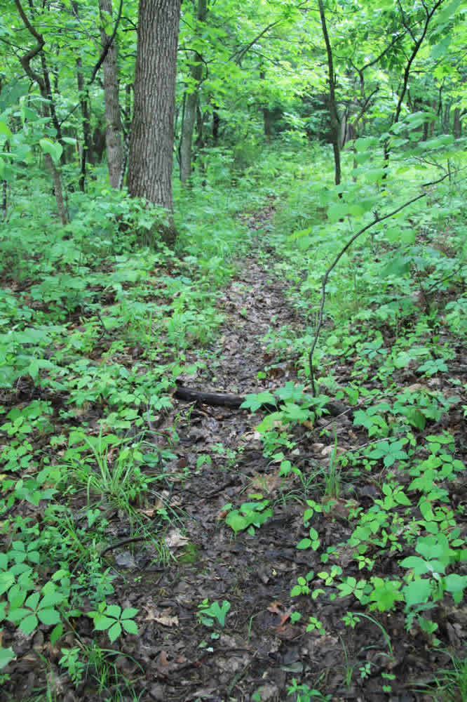
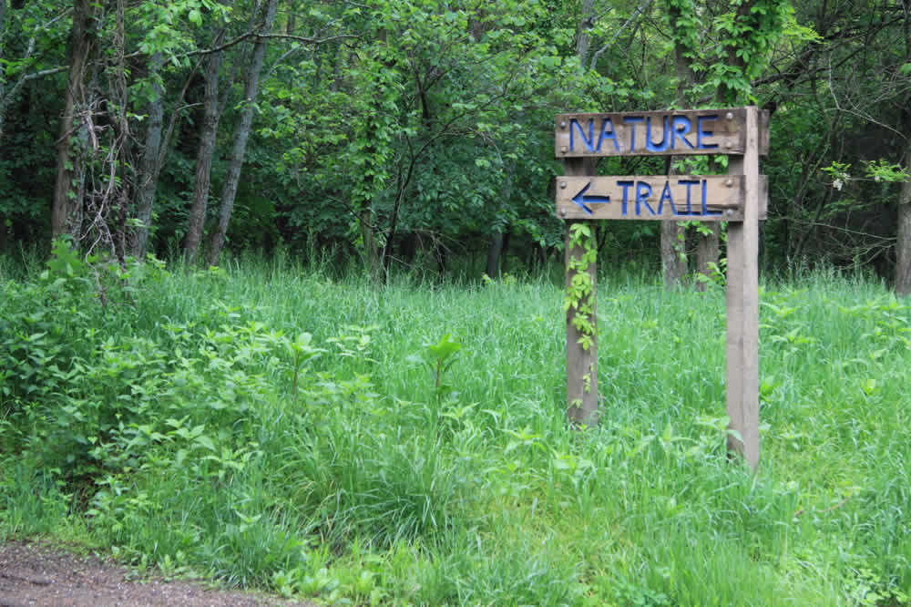
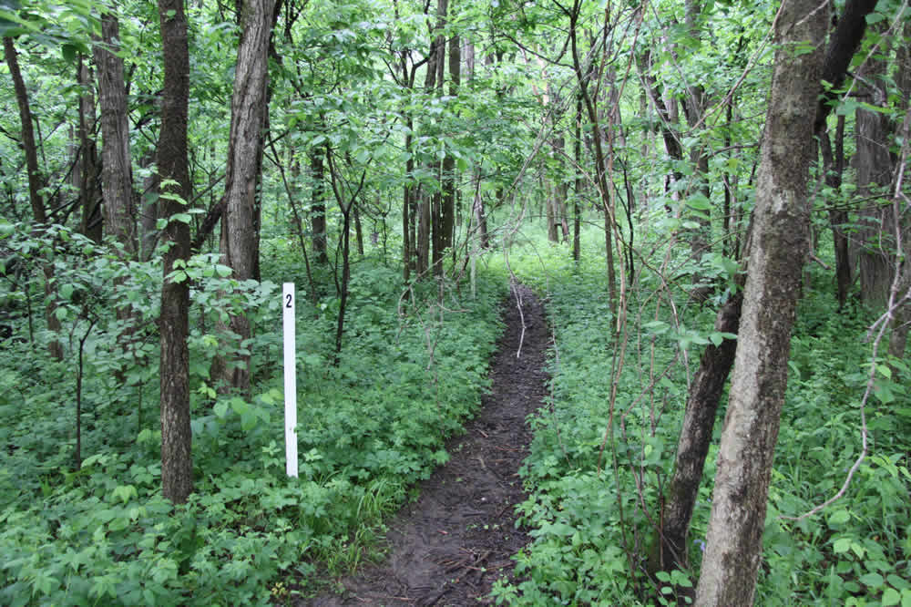
A game trail leads off to the north along the way and leads us to a sign telling us about the area.
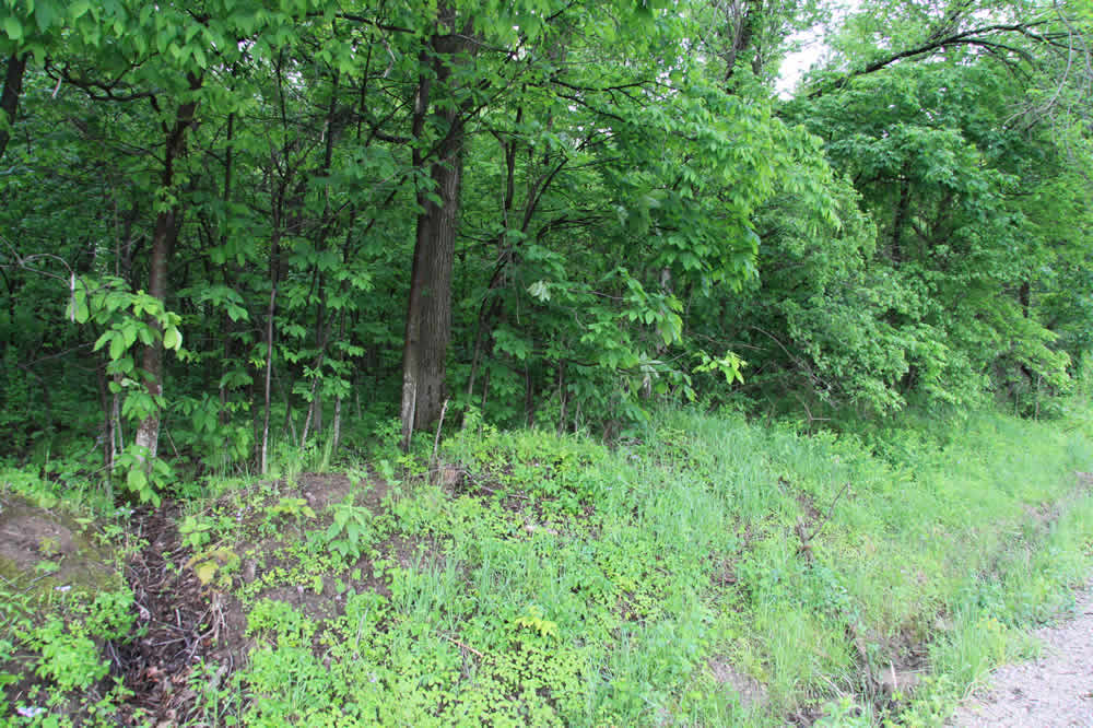
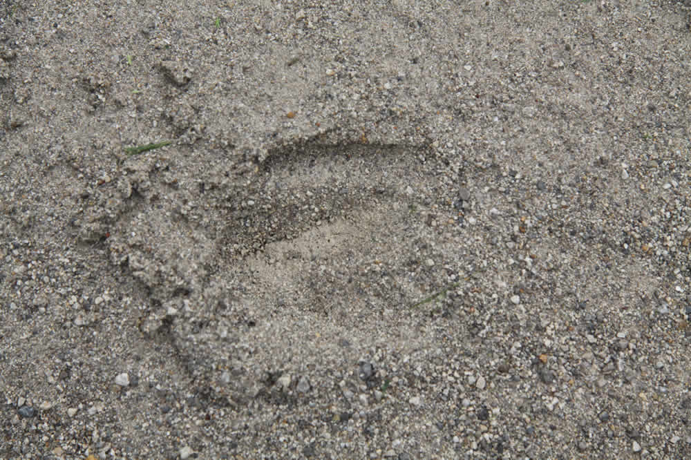
All along the dirt road are deer, turkey and varmint tracks. White-tailed deer populate this area. This morning I was out too late to see them, although in cooler weather they are out any time of the day.
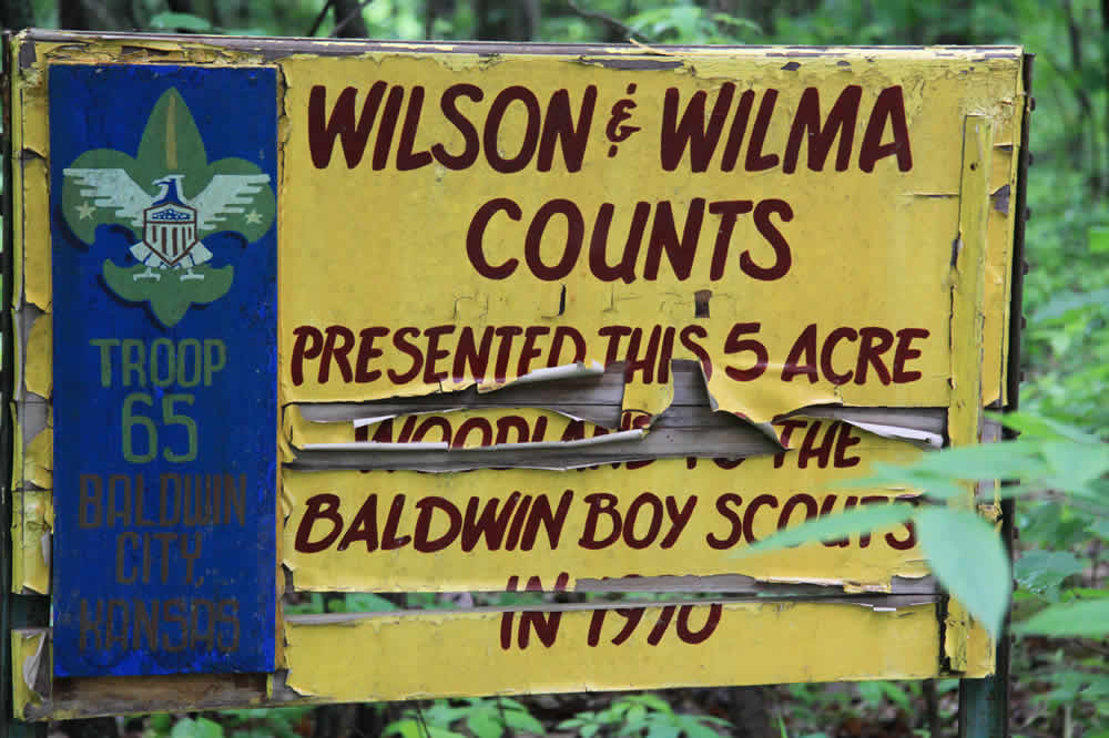
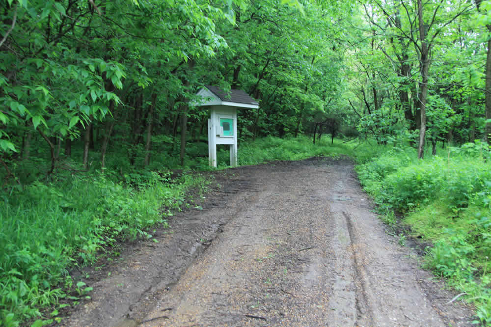
Further up the road is a back entrance to the Nature Area of the Baker University Ivan L. Boyd Woodlands. More about that below.
Left: Almost directly across from the backdoor entry is the entrance to the "Vinland Natural Nine" private golf course. http://www.vinlandnaturalnine.org/ rt: Up the road a bit on the right (north) sits an old barn behind an pillared entrance.
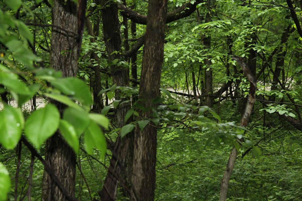
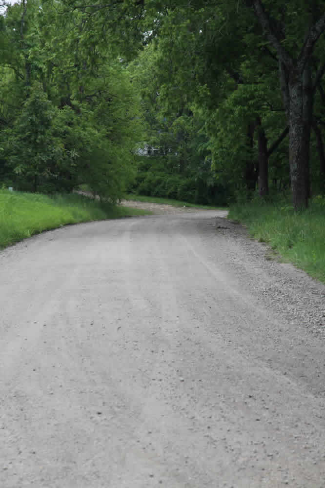
Continuing on the road. Now it's downward. rt: All sorts of trees inhabit the area. This one has Tarzan vines growing on it.
I usually see horse tracks every morning, but have only once seen the horse and rider.
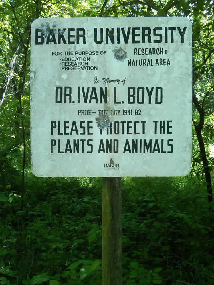
At the bottom of the hill is the Baker University Nature Trail. This is part of the Ivan L. Boyd Woods, named after the Baker University biologist. It's a 35-acre tract of woodland comprised of eastern deciduous trees and is located along the southern boundary of the Wakarusa River Valley.
It sits a bit off the road, a dark entrance at dusk and dawn.
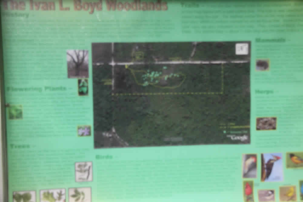
The sign tells about the trail. Birds in the woods include Blue jays, Nuthatch, Yellow-bellied cuckoo, Flycatcher, Eastern Wood Pewee, Tufted Titmouse. I often hear owls, hawks and variety of others.
The trail is marked along the way with trail posts and a brochure that you can pick up at the sign. Flora abounds, such as Post Oak, Red and Black Oak, Chinquapin Oak, Shagbark Hickory, Redbud, White and Green Ash, Slippery Elm
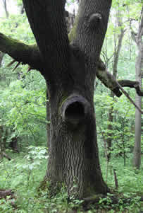
An old oak with an intriguing hole for critters. My dog Hank and I once witnessed a bobcat chase down and kill a squirrel in these woods.
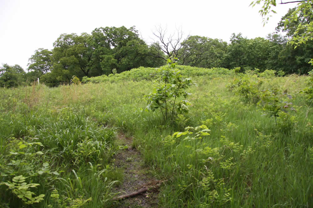
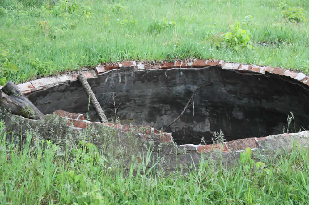
The trail climbs uphill then comes an open area rt: and leads to a rock and cement pit. Now it is filled with water, duckweed and frogs.
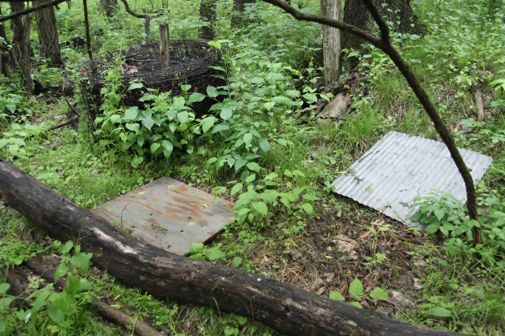

The area is part of a study area for Baker students and scientists. rt: Downed trees make the trail more interesting.
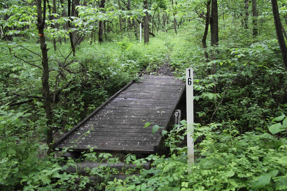
A bridge spans one the creek branches.
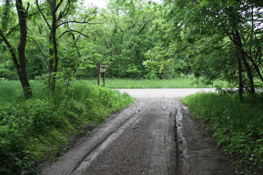
Returning back to N 500 Rd. Take a left. rt: About 20 yards away is the junction of N 500 Rd. and E 1750 Rd.
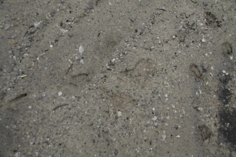
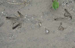
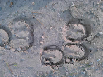
The morning I took these photos I found my tracks from the day before flanked by deer and turkey tracks. rt: close up of turkey tracks


Up, up, up the very long "Signal Oak Hill" that is actually E 1750 Rd. This hill serves as a training hill for Baker University and Baldwin High School cross country runners. rt and bottom: Also along the road are various creeks and run-offs
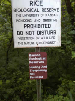
The sign that tells us where we are and what to do. Up the hill a bit and across the road is another sign that tells us the area belongs to KU (below)
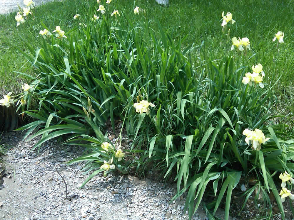
Continuing up the hill. Irises along the way. I stopped for a sec and saw some more deer tracks.
Still up. And up.
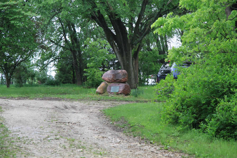
One of the many historical markers around Baldwin City. This is on private property, but I think this is the Dr. Simmons Home site. According to the Baldwin City Tour guide, Simmons was a Palmyra physician who "mortaged his home to save Baker University from a sheriff's sale."
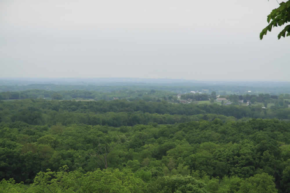
Still not there yet. The road continues up suntil we hit the Signal Oak overlook. I'll supply a better shot next time I haul my camera up there, but you really can see KU from here. 14 or so miles in the distance. This morning was hazy.
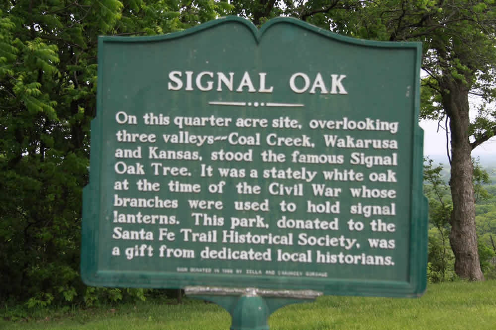
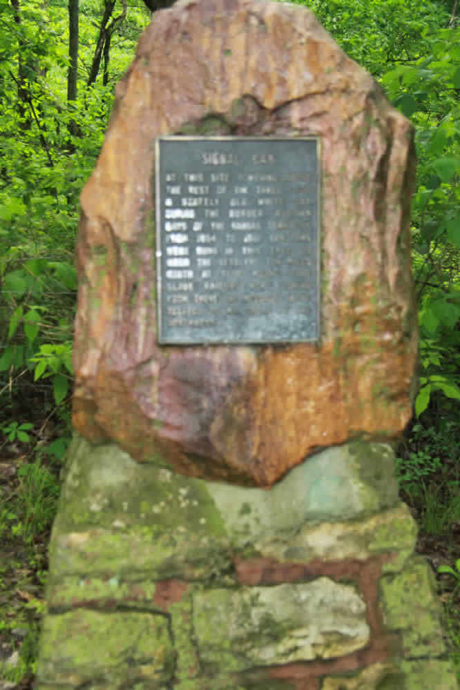
The new and original Signal Oak sign.
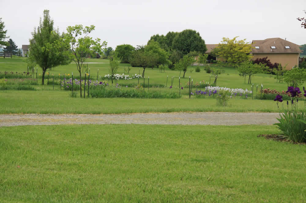
E 1750 turns into N 1st Street for a while rt: A home owner takes great pride in his extensive iris beds.
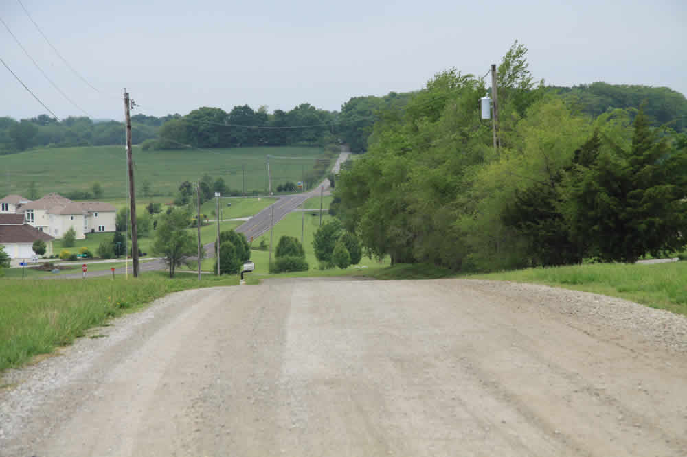
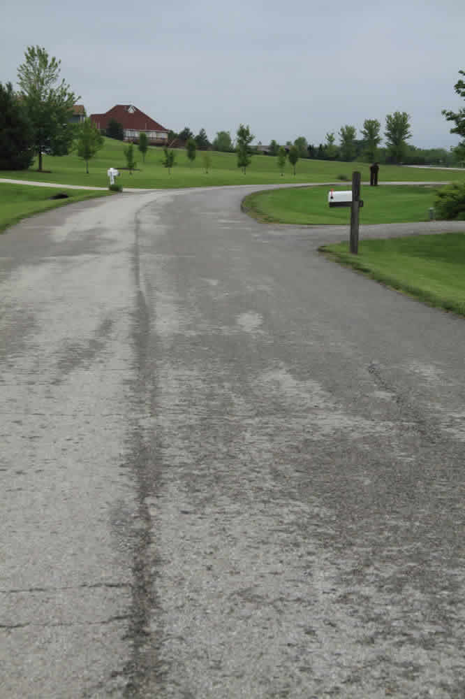
The road turns westward and downhill. My street is waaaay at the bottom.
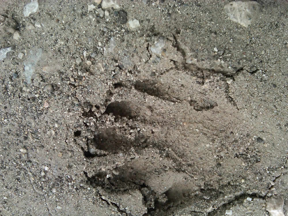
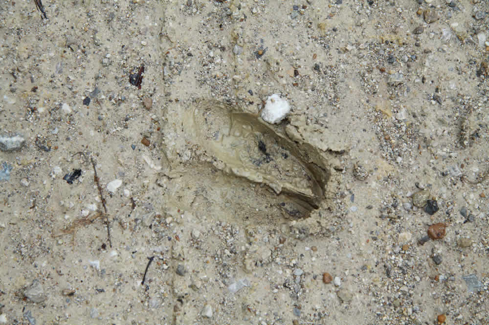
A raccoon track along the way.
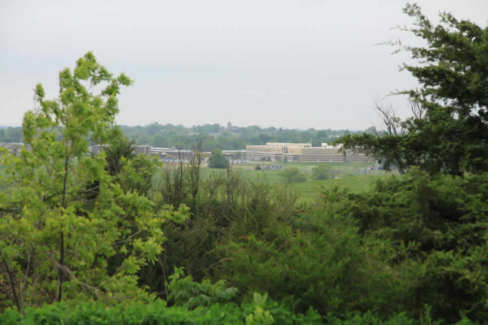
Looking southwest over Baldwin. The Junior and High Schools in the distance.
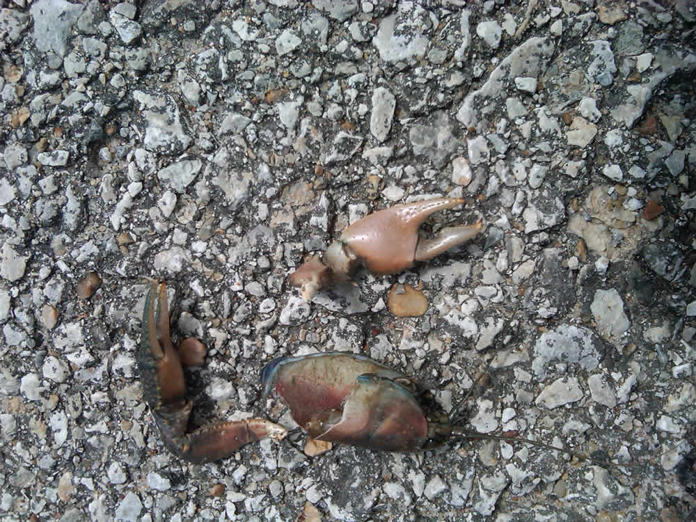
Turning right onto my street and uphill for a quarter mile. This is very unpleasant in winter when the cold north wind blows. Along the way I see some crawdad body parts. Not at all unusual.
Home again.
TOP OF PAGE
Exercise
History of Indigenous ActivityCalorie Needs
Get Started on Your Fitness Program
Diet Charts for One Week